Notes from an Applied Climatologist - July 2014 Rainlog Climate Summary
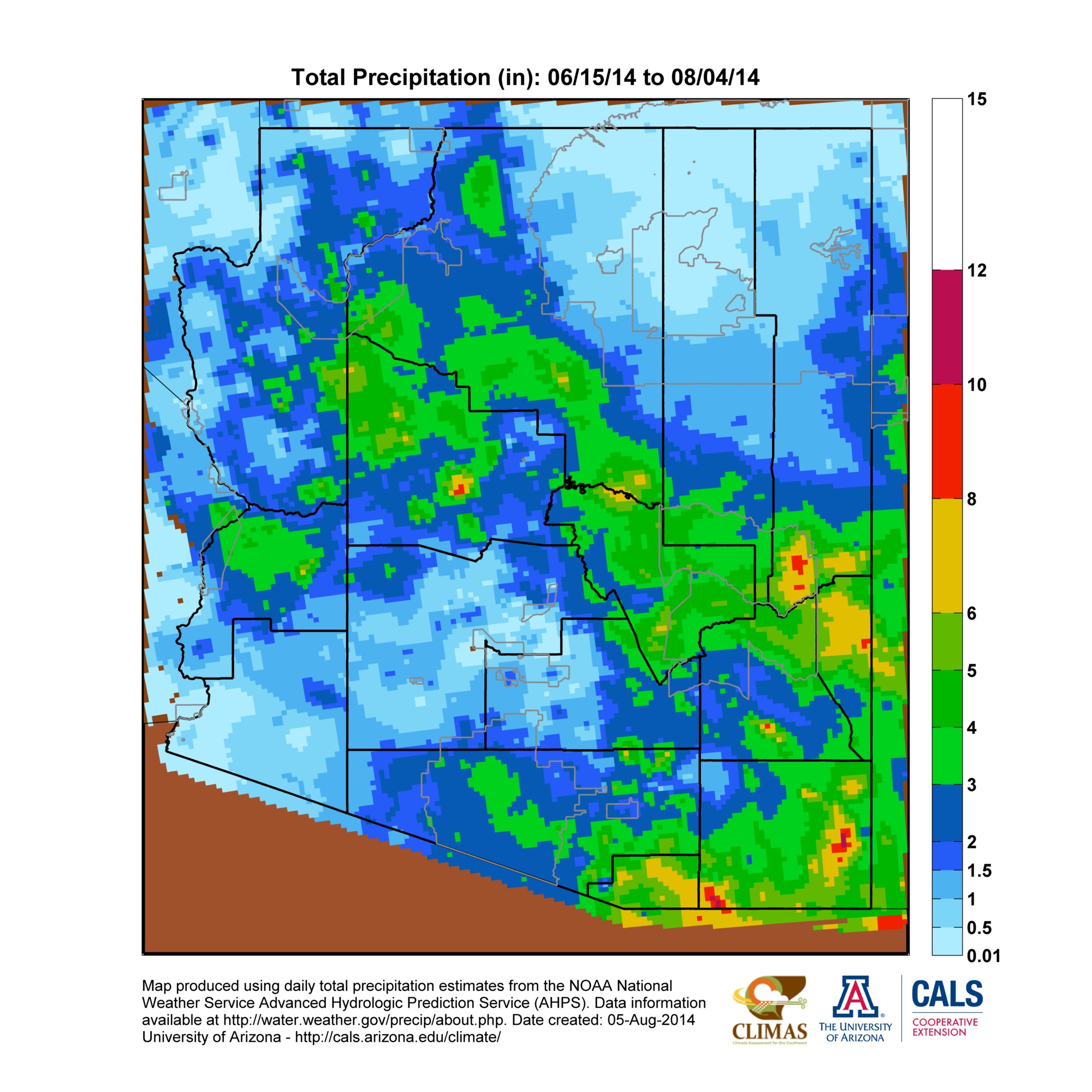
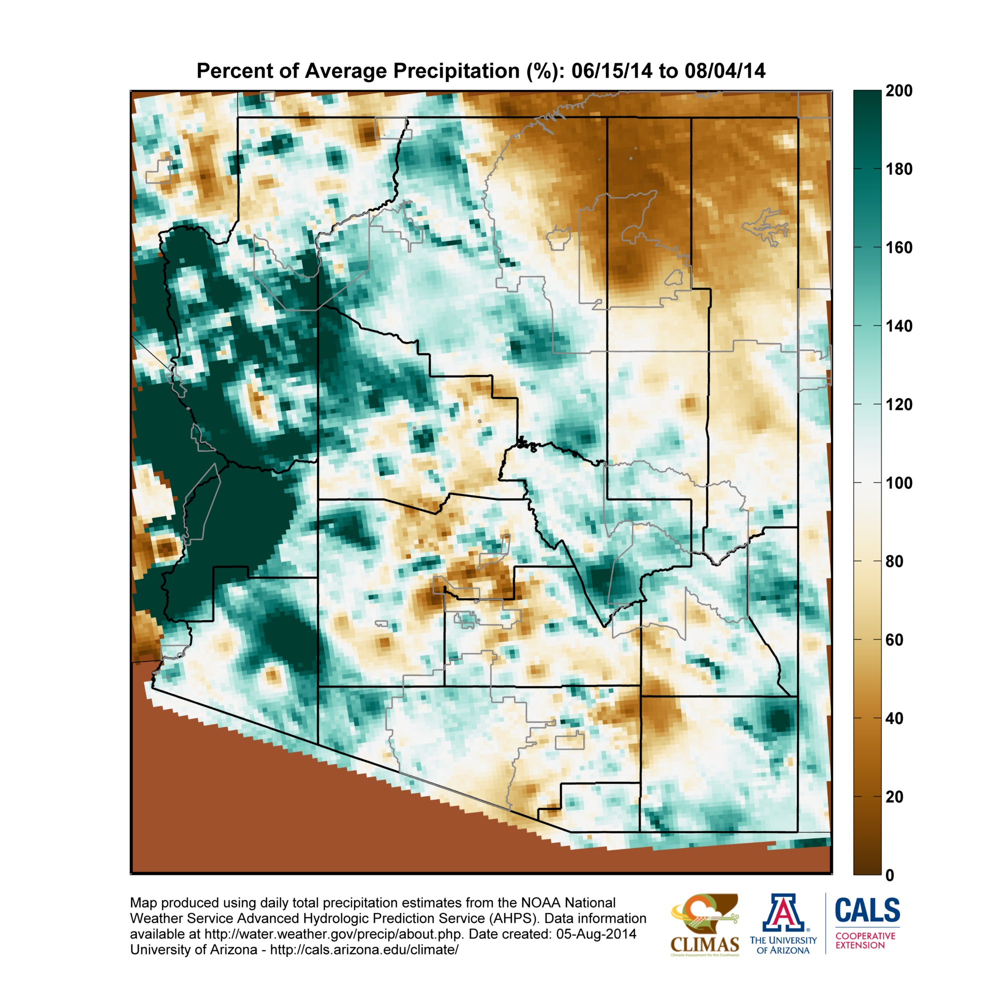
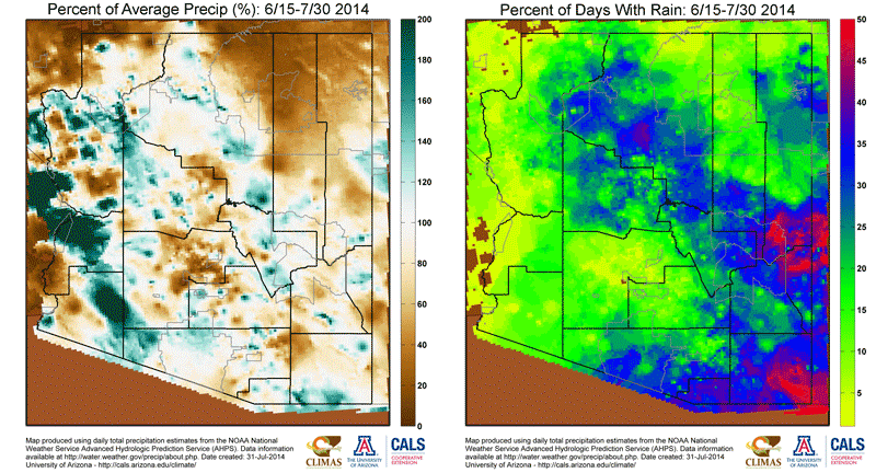
July started off with a bang with moisture and thunderstorm activity moving into Arizona over the 4th of July weekend. This start date for monsoon thunderstorm activity was very close to the climatological start date of July 3rd, as determined by the old dewpoint definition (three consecutive days with average dewpoints >= 54F) in Tucson. The ‘monsoon ridge’ of high pressure was in an ideal position over the first two weeks of July to guide abundant subtropical moisture into the state, providing fuel for almost daily thunderstorm activity across parts of southeastern Arizona and the high country along the Mogollon Rim. (read more)


